
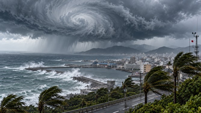
Typhoon Champi is on course to impact Japan’s southern islands, sparking serious concerns over potential torrential rains, powerful winds, and hazardous sea conditions. As the 30th typhoon of the year, Champi is expected to pass near the islands southwest of Okinawa through Saturday, with authorities urging residents to remain vigilant.
The remote islands in the path of Champi could face prolonged heavy rainfall between Friday and Saturday, with the possibility of linear rainbands developing. This raises the risk of localized downpours and flooding, prompting warnings for residents to prepare for potential natural disasters.
In Okinawa Prefecture, wind gusts could reach up to 198 kilometers per hour on Friday and 180 kilometers per hour on Saturday. Rainfall is predicted to reach 250 millimeters within 24 hours until 6 a.m. Saturday, with an additional 120 millimeters expected over the next 24 hours. The formation of intense rainbands could lead to even higher totals.
Sea conditions are also forecasted to worsen, with waves potentially reaching 12 meters in height around Okinawa on Friday and Saturday. As of early Friday morning, Typhoon Champi was located south of Okinawa, moving northwest at a speed of 15 kilometers per hour, and had a central atmospheric pressure of 950 hectopascals.
The typhoon is anticipated to weaken near the Tsushima Strait, located between Japan’s Kyushu Island and the Korean Peninsula, before veering eastward. Authorities continue to stress the importance of staying updated with weather forecasts and taking necessary precautions against the storm’s impact, including heavy rain, strong winds, and dangerous coastal conditions.